Well, it’s been over a year since my last post – time for another, right!?
My selfish side wants to keep this backpack trip a secret so that nobody spoils this amazing hike through the Gros Ventre Wilderness. But it was so awesome, I must share about Josh Stafford’s and my BEST backpack trip EVER. What!? Nonsense. Insanity. Foolish. Impossible. Inconceivable. The Tetons are on the other side of the valley, surely the Gros Ventre mountains can’t compare!
…
Ok, well… in many ways they can’t. But they will surprise you how drop-dead gorgeous they can be. And I don’t think you’ll find better fishing in the Tetons. AND there’s hardly any other people on this hike!
I’ll let you decide for yourself if it really does compete with the Tetons. I think you’ll find you agree with me, even though these photos don’t do the landscape nearly enough justice.
I found this trip on backpacker magazine’s website. You can find out all the directions and technical info there.
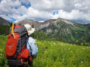
 |
| Josh getting his pack ready in the parking lot for Shoal Falls trailhead. |
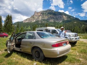
We started off on Friday, July 1st. Ran into a delay because of a road closure in Hoback Canyon, so we just fished the Hoback river until traffic cleared up. So we didn’t actually start hiking until the bitter heat of the day around 1-2pm. Not the best of situations, but we made do.
 |
| Views really not too shabby right from the parking lot! |
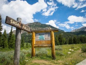 |
| The trailhead in all its glory. |
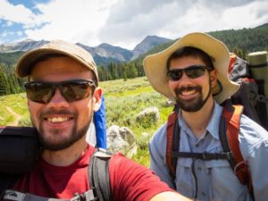 |
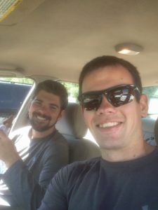
| The bearded backpacking buddies 🙂 |
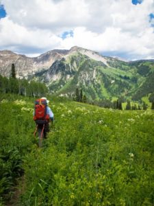
The trail was pretty easy going for the first bit, then gained a decent amount of altitude on switchbacks up a hill that we would later descend to Shoal Falls. This made for perfect sweating conditions due to our unfortunate timing to start hiking. You could definitely call it a great warm-up in multiple literal ways.
We passed a couple groups along this uphill section. Later one of these groups passed us again as we were headed downhill. I guess some people like to stress their joints rather than their muscles. 🙂 We caught up to them again once it turned to uphill hiking.
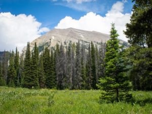 |
| Nice opening at the top of the switchbacks, looking towards a peak that I believe might be unnamed. |
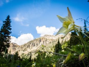
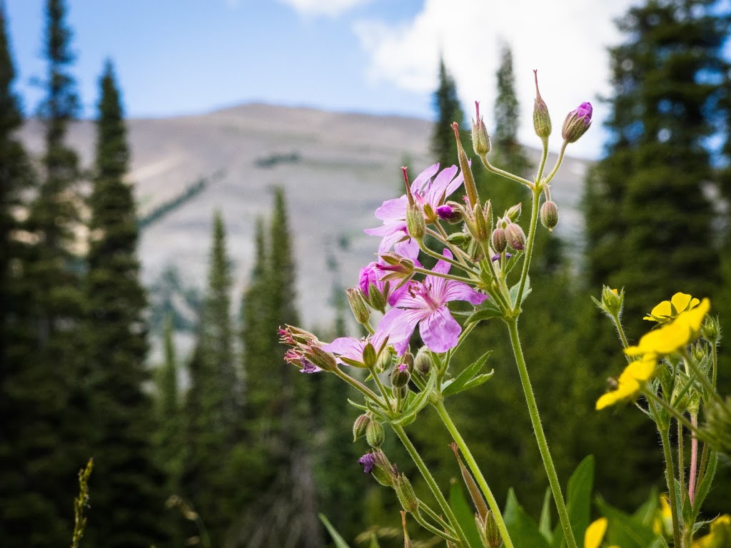
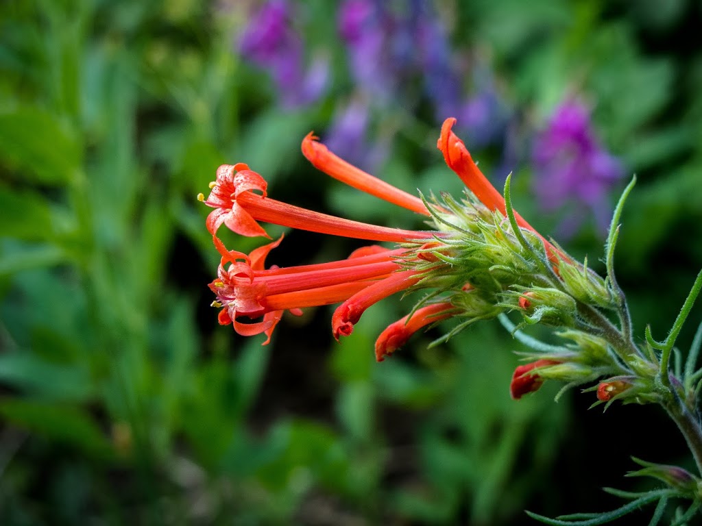
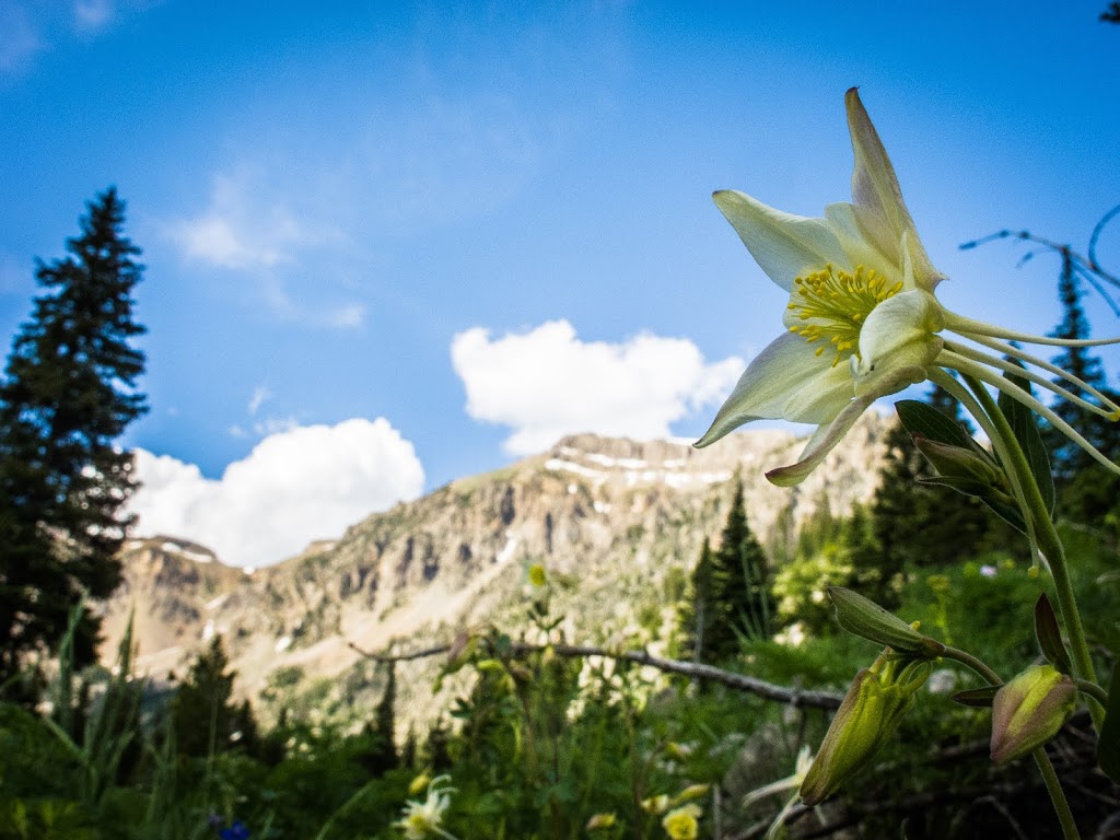
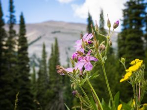 |
| Have to include some flower shots for my mom! 🙂 |
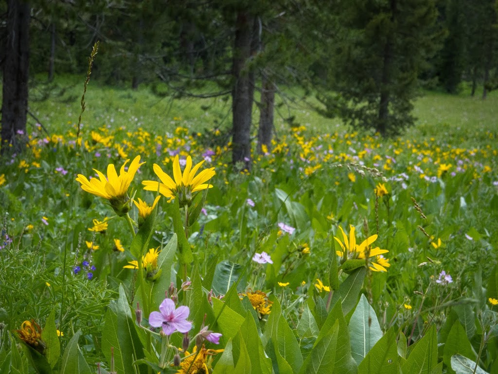
 |
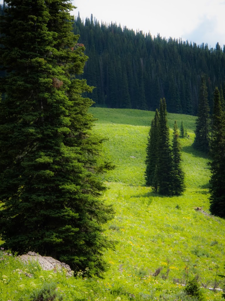
| There were fields of flowers everywhere along our backpacking loop – lots of different kinds! |
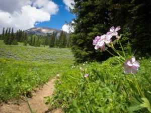 |
| I think my mom will want to hike this trail by the end of these photos. |
 |
| I liked some of the simple, clean-looking forest areas. Tried to capture that here. |
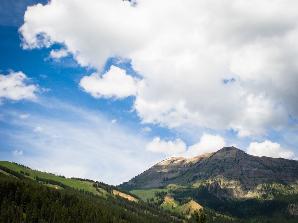
 |
| Another cool opening towards the mountains. |
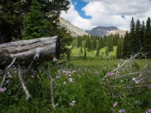
 |
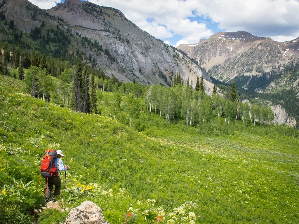
| This was at the top of another rise after our first switchback hill. The view coming up to the top of this hill was spectacular! It’s times like these where we like to start humming some of those “Fellowship of the Ring” tunes and envision us being part of an epic adventure of that sort. |
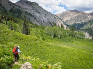
 |
| I used Stafford as a backpacker model the whole trip. He really embraced the role I think. 🙂 |
 |
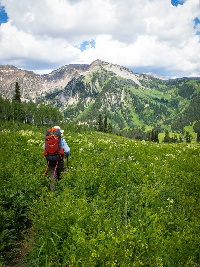
| More epic shots. |
 |
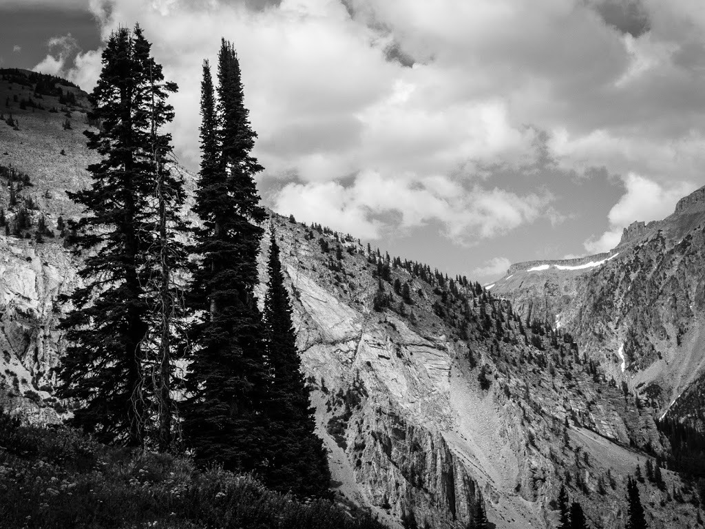
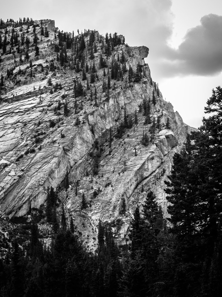
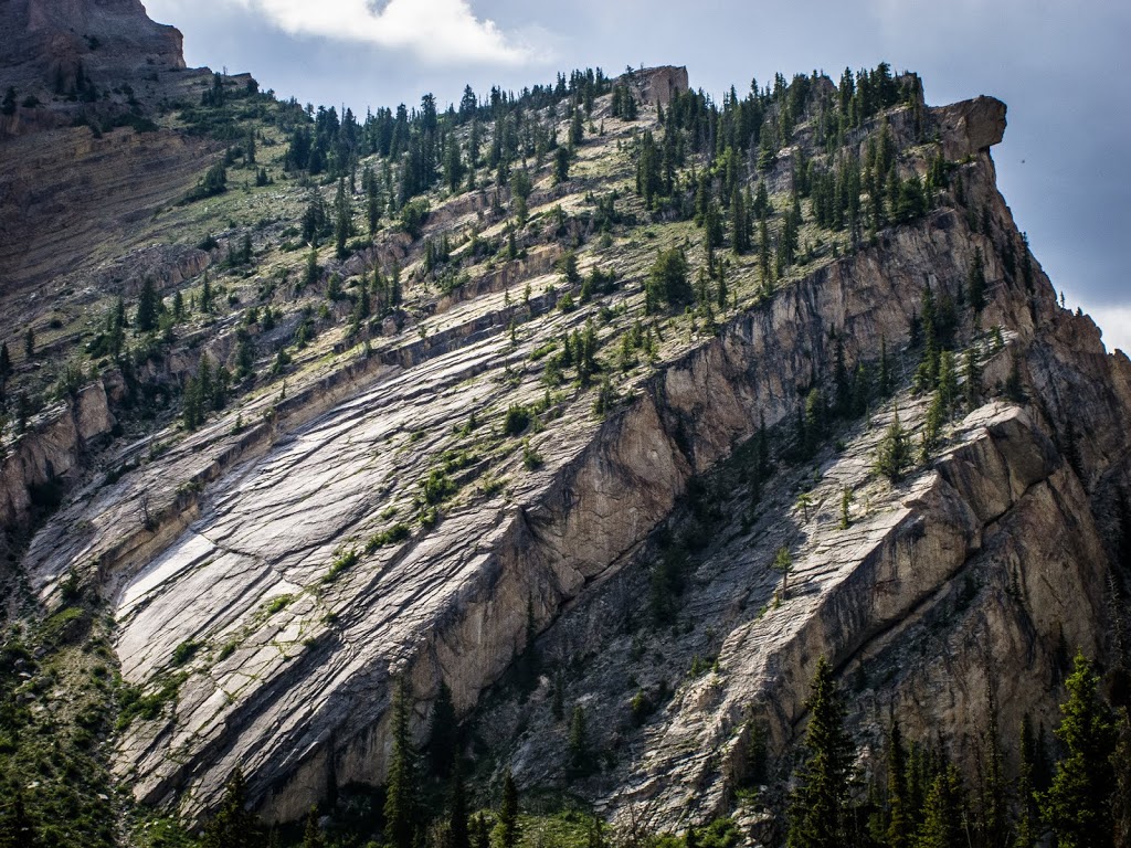
| There was some pretty neat geology along the trail. I felt like this one deserved the black & white treatment to emphasize details in the rock. |
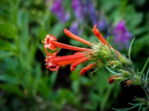 |
| More flower shots for my mom… ok, so maybe I take personal enjoyment in taking these photos too. 🙂 |
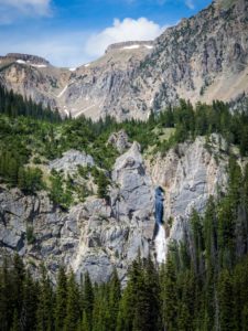 |
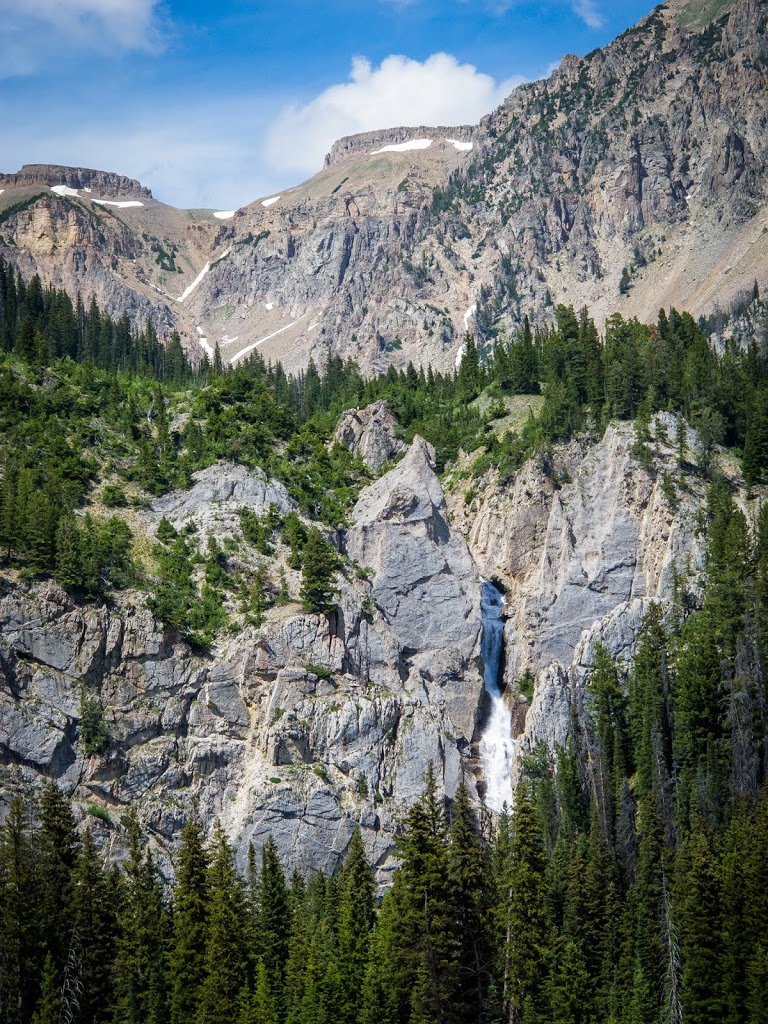
| Shoal Falls! This is about 5-6 miles into the trail and is a great spot for camping! Especially if you don’t want to be crazy like Stafford and me and hike ALL the way to Shoal Lake on Day 1, with a late start to boot. |
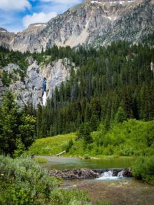 |
| Shoal Creek running below Shoal Falls running FAR below Shoal Lake. The FAR part is what we discovered soon after stopping here. 🙂 |
I need to pause the photo barrage here to make a quick comment. At the base of the falls here, Stafford talked to one of the groups we passed earlier which then passed us going down to this point. He asked them about how far Shoal Lake was from here, and which route to take (one of them had been through here before). He nonchalantly said something to the effect of, “yeah, you keep going on the trail and then it switchbacks up by the falls and it’s not too far beyond the top of the falls!”
…
We wanted to have a little chat with him after we’d been hiking for a couple hours later. By “switchbacks” he actually meant “steep inclines that lead to more steep inclines that bend around a little bit but don’t actually come close to a switchback AT ALL really.” And by “not too far beyond the top of the falls” he really meant “it keeps going and going for a long time with lots of elevation gain and loss and gain and loss and gain.” 🙂 Maybe he’d never actually been there.
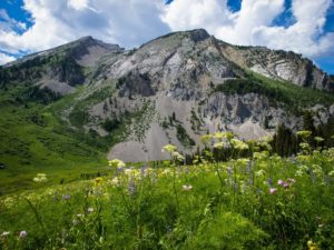
It’s a good thing we are seasoned hikers who don’t mind spending a little bit more time than originally thought, enjoying epic views like this:
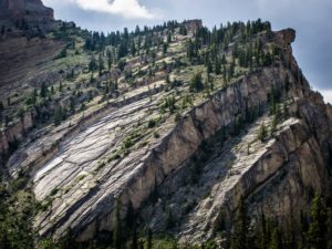
 |
| Some pretty awesome geology features, don’t you think!? Oh and flowers too. |
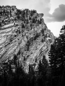 |
| Another black & white just to emphasize the geology details again. This is one of my favorite shots from the trip. |
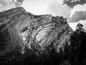 |
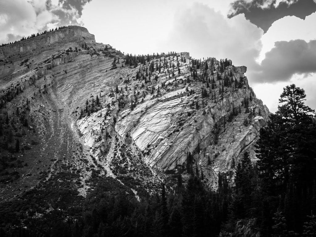
| Wider shot to include some more features of the mountain. I love these black & white shots… |
 |
| So. Many. Wildflowers. 🙂 |
 |
| Another angle at these rocks, with color. |
So we hiked a ways up this sort of hanging canyon that led up to Shoal Lake. We followed the trail through lots of streams, and it seemed like sometimes the trails were built more for water to run through them than people.
We climbed up this trail to a point where we came to one of our brilliant decisions to ditch the trail and make our own way up to the lake. It seemed the trail was going in the wrong direction, so we figured maybe it was a trail to a different spot nearby and we had missed the main trail earlier. We still aren’t sure and may never find out. But we’ve made a pact to never leave the trail again unless we are absolutely sure we are on the wrong trail. This has gotten us into trouble before, if you remember.
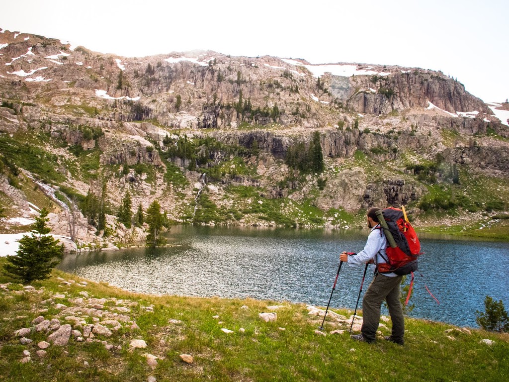
We traversed across the west side of this canyon for a ways until it got too steep, which caused us to go back down near the stream coming down from the lake far above. We eventually got back to a trail, and made our way through many false summits (we were ready to be done, and disappointed ourselves too many times by hyping up the next summit with “THIS IS IT”). When we finally reached the last summit, I knew there was no mistaking it this time.
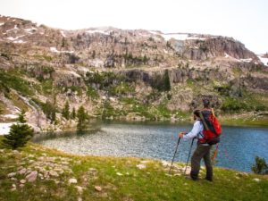 |
| Wow, what a view! Might as well just setup camp here, right? We did. 🙂 |
I think the lake has 5-6 waterfalls flowing down into it – spectacular! Beautiful cliffs surround it, and the view back down the canyon we hiked up is pretty amazing. We got there, setup camp, and ate dinner before sunset. So I had just enough time to get up the hill to take these shots down the canyon at sunset:
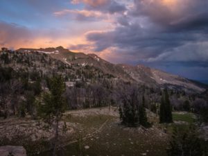 |
| You can see our trail here that leads up to the lake. |
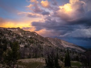 |
| Peak of sunset colors, loved the dark clouds! |
Quite the day. Starting around 1-2pm, hiked around 10 miles (with I think 3-4 thousand feet elevation gain), setup camp, took sunset photos, joined Stafford for some late evening fly fishing… I’d call that a good day. The fishing was great! I probably caught 15-20 that first night, but that pales in comparison to Day 2.
But that’ll have to wait for the next post… 🙂


Lisa
16 Jul 2016Derrick- Oh Wow!!! Thank you SO much for sharing!!! I loved reading this account and just love the pictures- especially with the flowers!!! Thank you so much for thinking of me! :0) And as you already said- I would love to go on this hike with you- so make sure it is on the list of places to go! Looks like a fantastic one and absolutely beautiful! So cool you were able to go! Love you! Mom
Erin Nichole
17 Jul 2016These are stunning pictures!
Derrick Zuk
17 Jul 2016Thanks mom!
Derrick Zuk
17 Jul 2016Thank you!